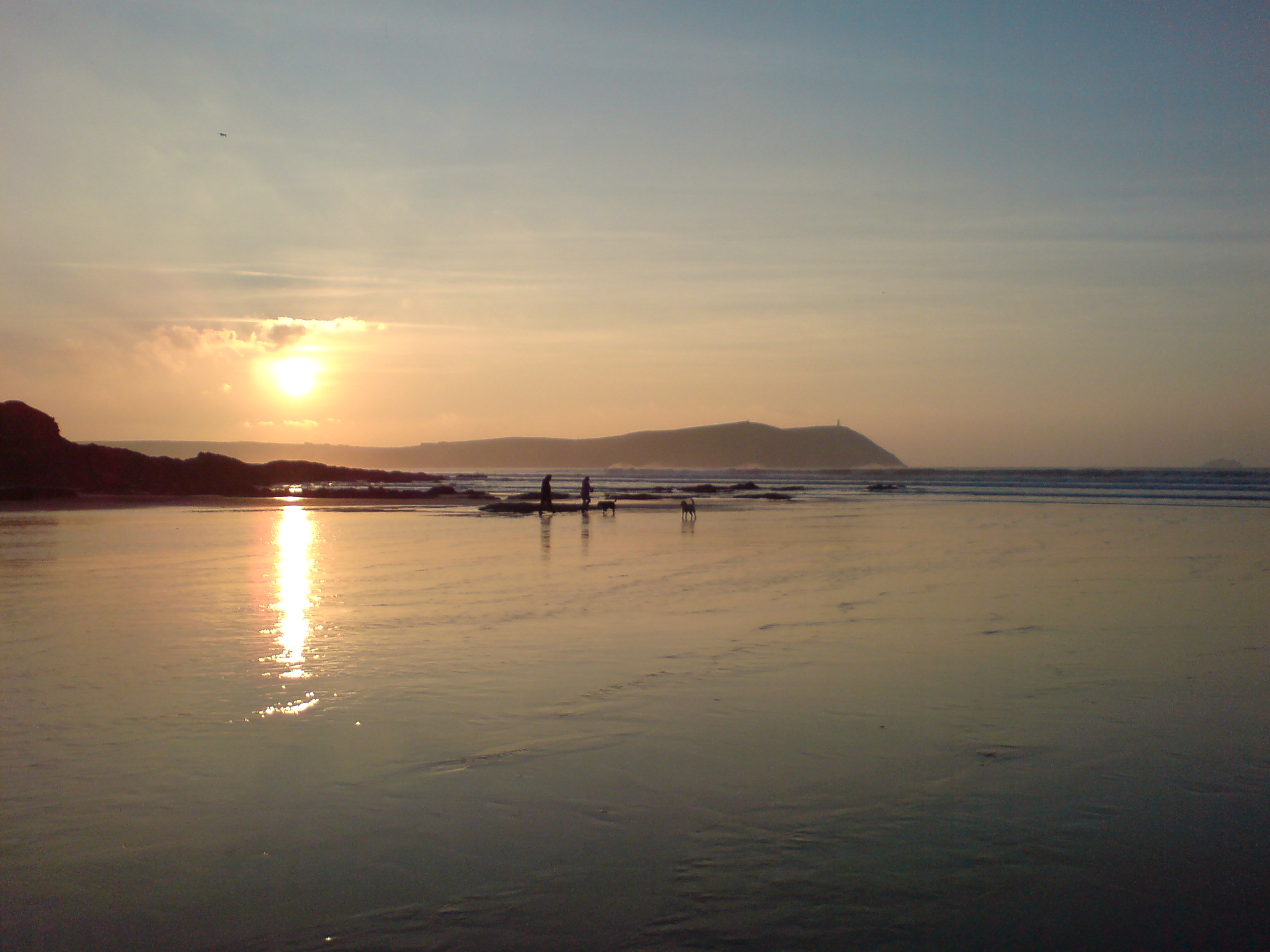

Cornwall’s cliffs, beaches and sheltered estuaries are places of beauty and tranquillity today, yet within living memory, these familiar landscapes became part of Britain’s defensive front line during WWII.
Remembering this chapter in the history of Cornwall is more than about simply recording military installations and operations: it’s about paying tribute to the servicemen and women who passed through the county, those who left its shores for war and the civilians whose communities were transformed by the conflict.
© Public Domain
When Cornwall prepared for invasion
Following the fall of France in June 1940, the threat of German invasion was taken seriously. Defence works were rapidly constructed across Britain under the direction of General Sir Edmund Ironside, Commander in Chief of Home Forces.
Cornwall’s geography gave the county particular responsibilities. Its long coastline comprised beaches and inlets that had to be considered in invasion planning, while ports and communications facilities also needed protection. Pillboxes, roadblocks, anti-tank obstacles, barbed wire and other defences became features of the landscape.
Members of the Home Guard joined regular military personnel in preparing for an invasion that, fortunately, never came. Some traces remain. Concrete structures are still visible beside beaches, roads and footpaths, occasionally obvious, but often softened by decades of wind, rain and vegetation. Their weathered appearance can make them seem almost part of the landscape, yet each belongs to a period when the possibility of attack was very real.
Watching the Camel Estuary
The Camel Estuary provides an evocative example of Cornwall’s wartime defences. Padstow and the surrounding coast provided clear views across the water, including towards Rock and the coastline near Polzeath.
At Gun Point, near Padstow, an emergency coastal battery was established in July 1940 as part of Southern Command’s defences. Initially mounting two four-inch naval guns, these were replaced in 1942 by two French 138mm guns. The position was also stocked with weapons to help protect it against an attack from the land.
Surviving remains continue to connect this peaceful stretch of the Camel with the anxious months of Britain’s wartime defence, but for people walking these shores today, the picturesque locations are associated with holidays, sailing and days beside the sea.
Defending Falmouth and the harbour
Further south, the importance of Falmouth harbour and the Carrick Roads estuary made their protection essential. Pendennis Castle, a fortress with a military history stretching back to Tudor times, again assumed an active defensive role.
In 1939, Pendennis took control of the area’s coastal defences. Long-range guns at Half Moon Battery protected the approaches from enemy ships. Observation points, operations command rooms and, later, radar technology helped coordinate their operation. The castle’s surviving wartime features offer a tangible connection with the men who maintained a watch over the sea.
On the opposite side of the approaches, St Anthony Head contributed to the protection of Falmouth. The coastal artillery fort pre-dated the Second World War, but a battery observation post was added during the conflict.
Projecting south into the sea, the Lizard Peninsula formed part of Cornwall’s wider network of wartime surveillance and defence.
Porthcurno: protecting Britain’s communications
By the beginning of the war, Porthcurno was a crucial hub for international communications. Fourteen submarine cables converged there, carrying around 70% of Britain’s overseas cable communications. Such importance also made the station vulnerable.
In June 1940, work began on tunnels driven into the cliffs to transfer critical operations underground. Completed in May 1941, the bunker was a protected working environment for communications staff who helped maintain Britain’s links with the wider world. The surviving tunnels now form part of the story told by PK Porthcurno, the Museum of Global Communications.
The D-Day Landings
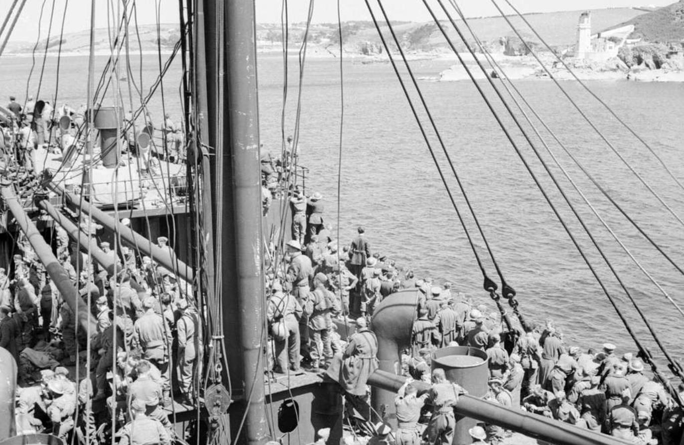
By 1944, Cornwall’s role had shifted dramatically. A coast prepared against invasion became a departure point for Allied forces preparing to cross the Channel in the opposite direction.
Polgwidden Cove at Trebah Garden, on the Helford River, is one of Cornwall’s most poignant connections with D-Day. The quiet beach was transformed into a military departure point. The original boathouse was demolished, the beach was partly covered with concrete and a substantial jetty was built so ships could load troops, vehicles and equipment.
On 1st June 1944, some 7,500 men of the US 29th Infantry Division embarked from Trebah with their vehicles and equipment. Their journey ultimately took them to Omaha Beach in Normandy on D-Day, 6th June, where the division suffered heavy casualties.
Polgwidden Cove was one of a number of embarkation sites around the Falmouth area, showing the scale of the preparations taking place around the Fal and nearby waterways. Memorials near the beach commemorate the servicemen connected with the site. Standing beside the Helford today, it’s difficult not to reflect on the extraordinary contrast between the peaceful waters and the scenes witnessed there in 1944.
Airfields, Bodmin and the gathering of forces
RAF Davidstow Moor opened on 1st October 1942 as a Coastal Command station. Squadrons operating from the airfield undertook air-sea rescue, U-boat hunting and anti-shipping duties. Wartime personnel came not only from Britain, but from Allied nations including Canada, Poland, Australia, New Zealand, Czechoslovakia and the United States. Surviving structures include specialised training buildings, while the Cornwall at War Museum occupies part of the former airfield and preserves material relating to the county’s wider military history.
Other Cornish communities experienced the arrival of military personnel on a considerable scale. Perranporth had its own wartime airfield; Bodmin became home to American soldiers preparing for the invasion of Europe. Walker Lines in Bodmin had originally been constructed for British troops. The site was handed over to American forces in late 1942, and soldiers of the US 29th and 35th Infantry Divisions were among those based there. Units of the 29th Infantry Division were billeted in Bodmin until 1944 before taking part in the Normandy campaign.
For residents, the war wasn’t a distant event reported through newspapers and radio broadcasts. It was visible in crowded camps, military vehicles, uniforms, aircraft and the departure of men for overseas service.
The people behind the places
Alongside the structures of wartime Cornwall, such as airfield runways and pillboxes, were civilians who maintained communications, accommodated troops, endured rationing, welcomed evacuees and continued the everyday work of farms and villages.
Cornwall’s own servicemen served at home and overseas during the Second World War, including soldiers of the Duke of Cornwall’s Light Infantry, whose history remains closely associated with Bodmin. This combination of military service and civilian contribution gives Cornwall’s wartime landscape its lasting meaning.
Cornwall’s wartime legacy
More than 80 years later, Cornwall is a place where headlands are watched for sunsets rather than enemy vessels and beaches welcome families instead of military convoys, but the past hasn’t disappeared entirely.
The old airfields, memorial stones and observation posts and the memories preserved by local communities encourage us to look beyond the landscape and consider those who stood there during very different times. On Remembrance Sunday on 8th November, local people will pause at 11am to honour those who served, those who sacrificed their lives and the countless civilians who supported the war effort. We will remember them.